
with disruptive technologies.

with disruptive technologies.
with disruptive technologies.
with disruptive technologies.
Welcome to Linkay Technologies
LinKay Technologies, Inc. (LinKay) is a group of leading scientists, engineers, creative thinkers and business strategists leading the race in Artificial Intelligence (AI) through the continuous development and integration of technologies. Our innovative products and services are uniquely created and delivered using our proprietary & patented LinKay Ecosystem and LinKay GeoEngine that accentuates our success and industry reputation today.
Our Technologies

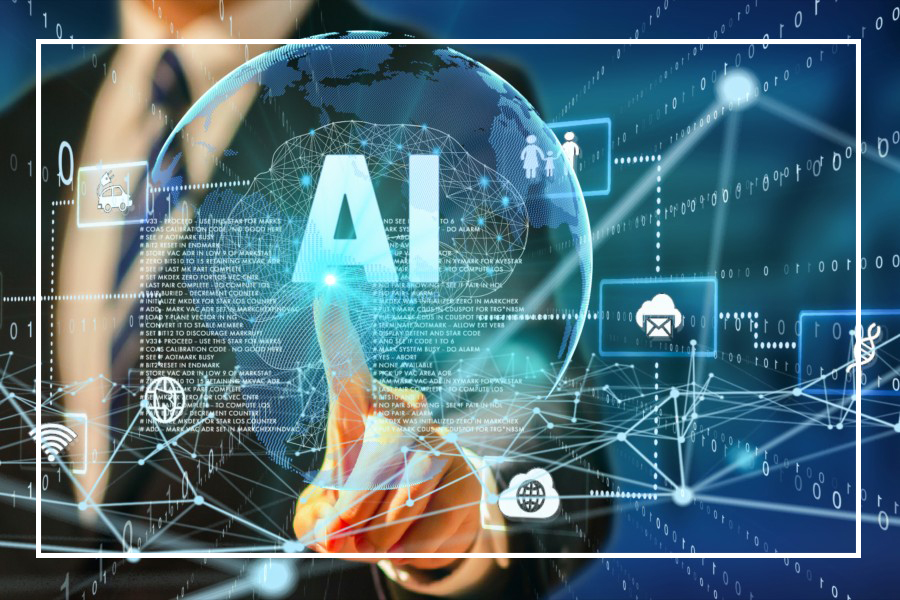
AI & IA
Decision making universal Artificial Intelligence (AI) and Intelligence Automation (IA) through an integrated network of applications, platforms, and ecosystems for human-centric experiences within mega infrastructures.Advanced Hybrid Energy Systems
Unified conversion technologies for sustainable energy provisions, such as a battery infused with hydrogen fuel cells that do not require frequent charging. As well as an electric vehicle conversion and retrofitting kit.
Data Security
Data protection through cyber security solutions, tools, platforms, and ecosystems pertains to critical infrastructure, energy, health, food, education, jobs, including the supply chain and logistics.
3D Mapping & Modeling
Geo-spatial mapping systems for both indoor and outdoor assets on enterprise software platforms that comply with smart city initiatives. LinKay’s patented GeoEngine (A2S3) enables users to navigate 3D environments with the use of augmented and virtual reality.Autonomous Smart Mobility Systems
Fully electric autonomous systems designed for regulated geofenced areas, including fleet management infrastructure, transitional operating environments for ITS, and urban congestion. These systems are able communicate with each other in real-time.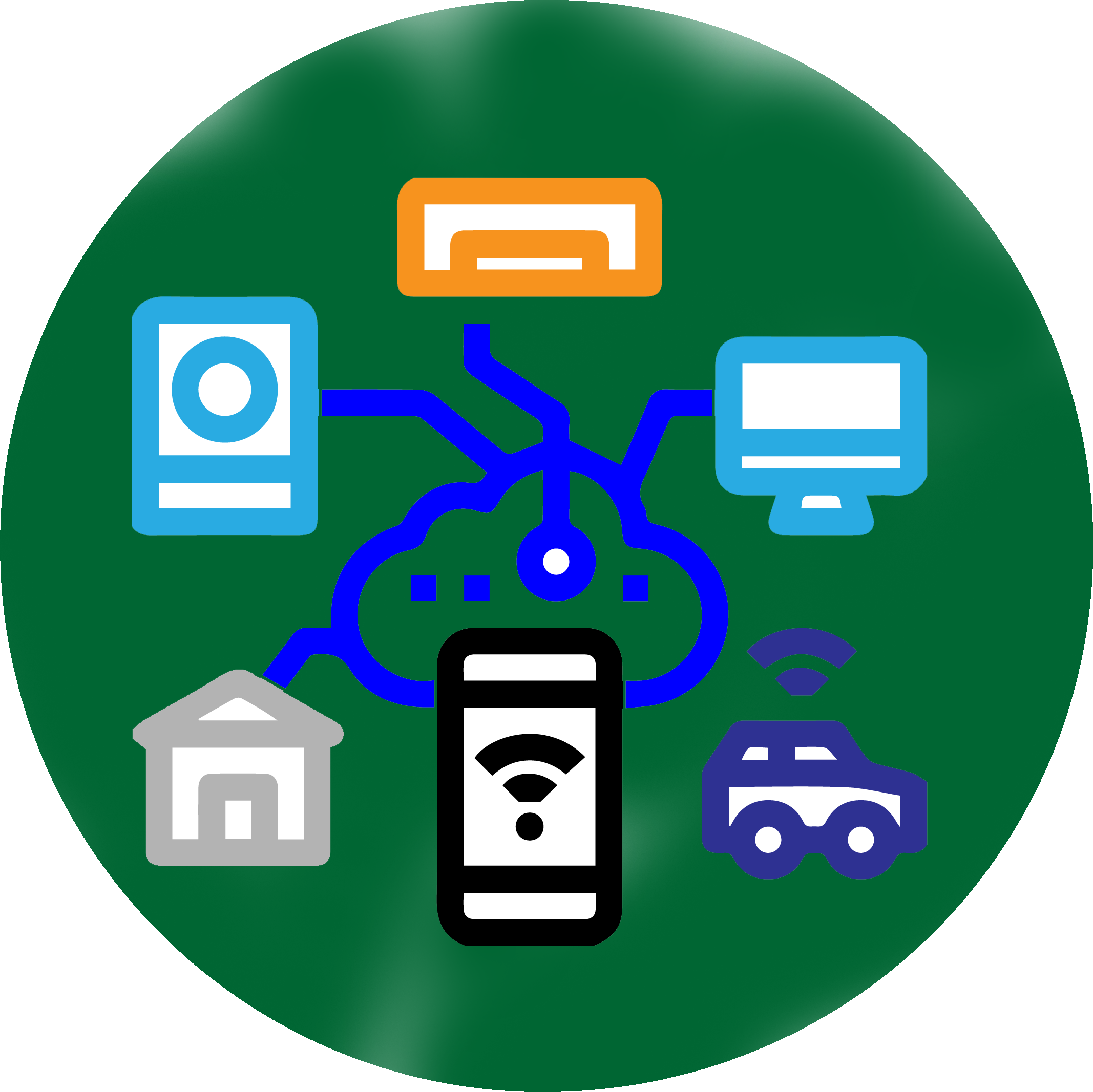
Smart Connected Products
Applications using LinKay’s core technologies are made up of IOT hardware (robotics) and integrated operating systems for user-specific automation (horizontal and vertical).
Empowering Success via Integrated Artificial Intelligence Solutions
Geospatial Infrastructure Management Ecosystem (GeoIME)
Strengthening infrastructure such as buildings is fundamental to disaster resilience. GeoIME solution is an innovative web-based platform that empowers how building vulnerability and risk are assessed, visualized, and managed for pre- and post-earthquakes. It is fully based on FEMA-154. By integrating geospatial data, building structural attributes, DSS, AI (e.g. GeoGPT), and RS-GIS technologies, GeoIME automates the process of virtual and rapid visual building screening, structural risk evaluation and building monitoring at scale.
GeoIME empowers users- government agencies, engineers, urban planners, disaster risk managers and citizens to upload or access spatial data, photos and videos, visualize detailed 2D/3D risk maps, and receive automated, actionable recommendations for retrofitting and resilience planning. It combines diverse data sources, such as geospatial information, including Google satellite imagery, drone footage, GIS layers, and on-the-ground surveys, delivering real-time insights through interactive dashboards and mobile-compatible tools.
Unlike traditional methods that are often manual or semi-automated fragmented, and resource-intensive, GeoIME streamlines the entire risk assessment workflow from visual screening to retrofit recommendations into one cohesive, scalable ecosystem. Its “honeycomb” model integrates every function and partner input into a centralized platform, turning raw risk data into practical, timely decisions.
GeoIME facilitates collaboration across sectors, enabling data sharing among stakeholders and bridging the gap between non-technical users and domain experts. Its intuitive design makes it accessible in both urban and rural contexts, supporting rapid deployment even in resource-constrained or high-risk areas.
By automating complex assessments and making risk information accessible and actionable, GeoIME strengthens infrastructure safety, enhances earthquake preparedness, mitigation, and empowers communities to move from vulnerability to resilience smarter, faster, and more sustainable.